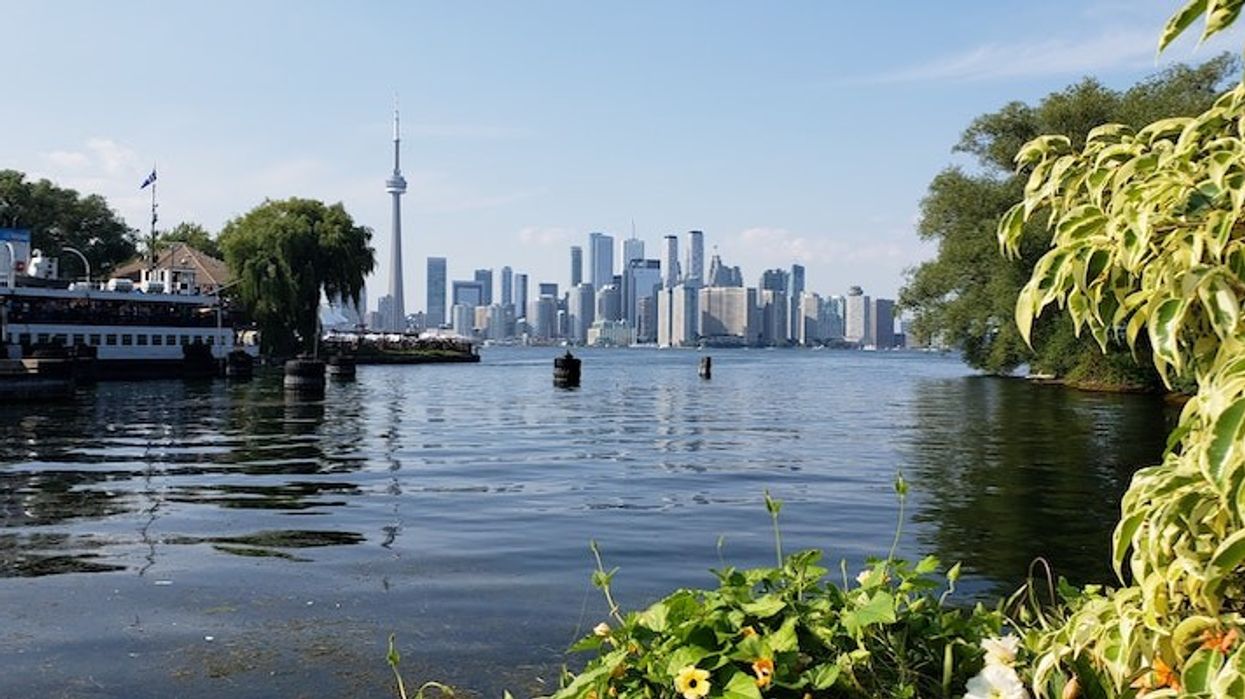
From the unparalleled views of the city skyline and the picturesque sandy beaches to the winding bike paths and open-air dining options, the Toronto Islands are unlike any other destination in the city.
And while over 1.2 million people visit the Islands every year, most visitors might not know that the popular destination was once a large peninsula before becoming the chain of 15 small islands that you can visit today.
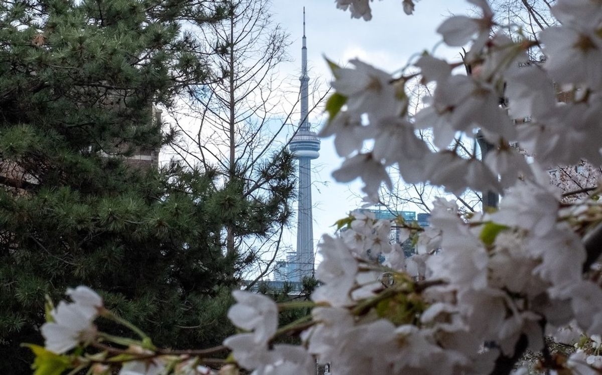
READ: Mayor Tory Considering Shutting Down High Park During Cherry Blossom Season
That's right, some 170 years ago you could have taken a long walk out to the shores that now require a boat to reach.
The Toronto Islands were originally a long peninsula named 'Menecing', which translates to "On the Island" in the Ojibwa, and was comprised of a series of connected sand spits that held spiritual significance for the Mississaugas. The long beach was considered a place of healing and the Mississaugas brought their sick here to recuperate.
However, a series of storms disconnected the body of the peninsula from the mainland. The first major storm struck in 1852 and the strong waves worked to erode the peninsula and temporarily form islands before the resulting channel was repaired and filled with sand and connection to the mainland restored.
However, six years later in 1858, a more severe storm in April permanently created the island that is now Ward’s Island when the storm completely separated the peninsula from the mainland and the gap was not repaired, leading to the creation of the Toronto Islands as they exist today.
Just keep in mind Toronto Island park is currently closed to the public under the City's declaration of a municipal emergency, which is part of the City's ongoing efforts to stop the spread of COVID-19. As a result, ferry service is restricted to island residents only.