Just as the majority of the province enters Stage 2 of reopening the economy, Google Maps has rolled out a number of new features that will help those using public transit stay safe while limiting the spread of COVID-19.
This comes as Google's latest Community Mobility report revealed that transit mobility is steadily increasing among provinces, including Ontario, which makes it increasingly important that passengers know how crowded a transit station might be at a particular time or whether the bus is running on a limited schedule.
READ: TTC Green Lights Mandatory Face Masks for Passengers
To ensure that passengers have access to this critical information, the tech giant has launched several new features in its latest release of Google Maps on Android and iOS that will help Canadians easily find important information when travelling. These new features include:
Station business: To make it even easier for people to see how busy a transit station is, Google will surface more popular times/live data on the transit departure board. Riders can simply search for a station in Google Maps, or tap on the station on the map, to see the departure board and busyness data, where available.
 Google Maps
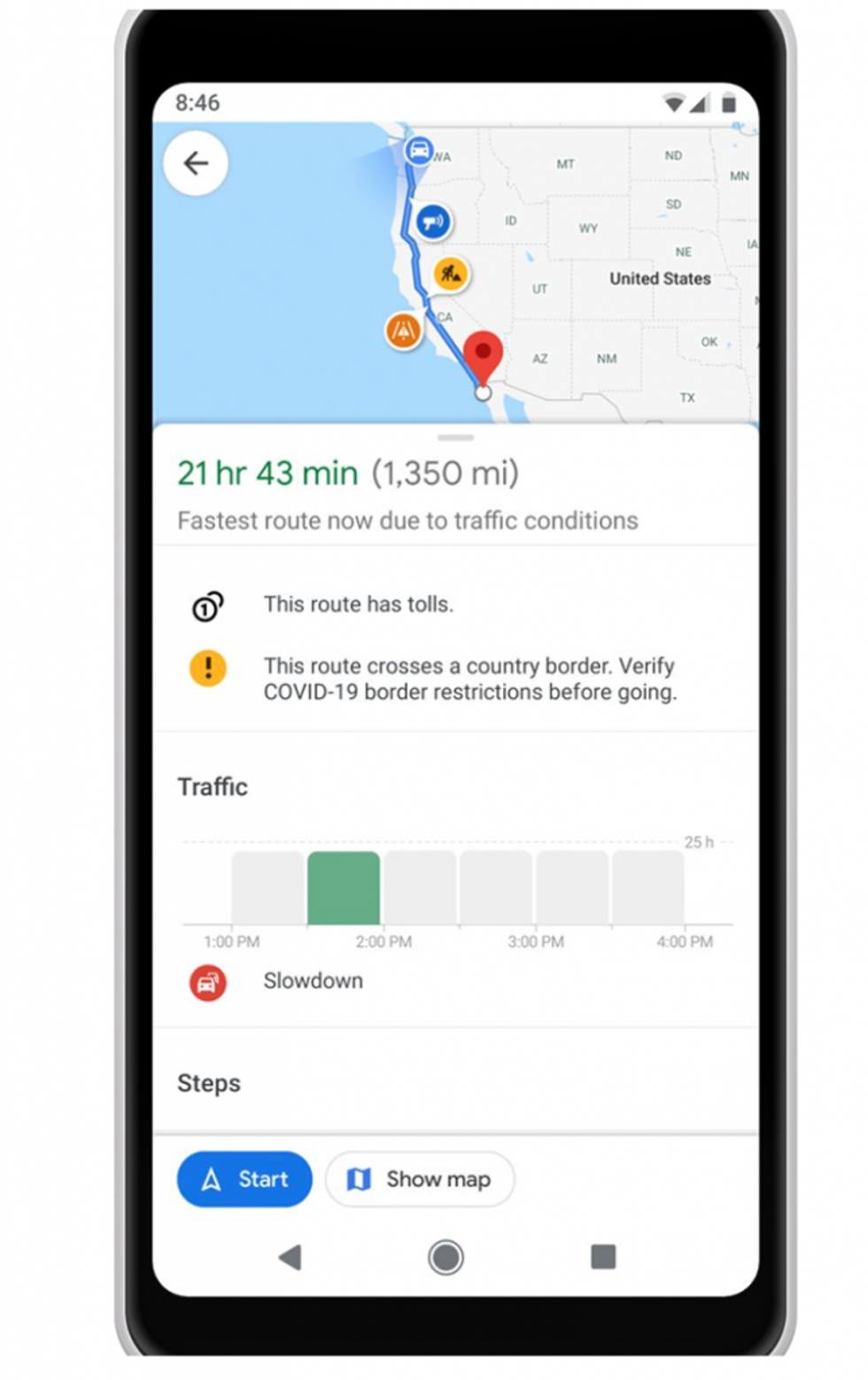
Travel alerts to show where there are government-issued border restrictions: These alerts will notify users where there may be prohibited, impacted or inadvisable routes towards their destination.
 Google Maps
A refresh to the crowdedness predictions: According to Google, the latest Map update will make it simpler for users to contribute crowdedness information for their transit lines so that others can avoid crowded stations and reduce the risk of exposure to COVID-19 when they need to travel. Users everywhere will have access to past rider feedback and can submit their own, right alongside public transit routes when available.
Google Maps is also preparing to launch a few other features in Canada which include:
Medical destinations and testing centres: These alerts will provide information on if a testing centre requires an appointment first or if it offers drive-thru testing.
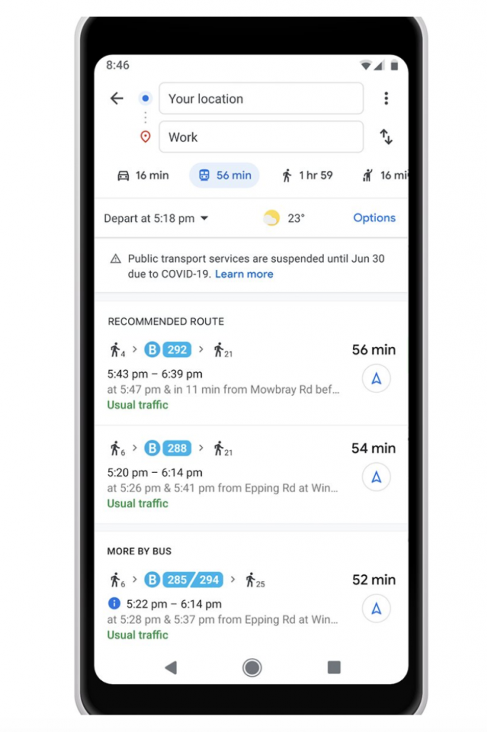
Additional trip restriction alerts: Finally, Google Maps will also be rolling out important alerts for when you’re looking up directions for a trip that is likely to be affected by restrictions related to COVID-19. For instance, as authoritative data becomes available, you’ll receive alerts on when public transportation services may be impacted by government mandates.