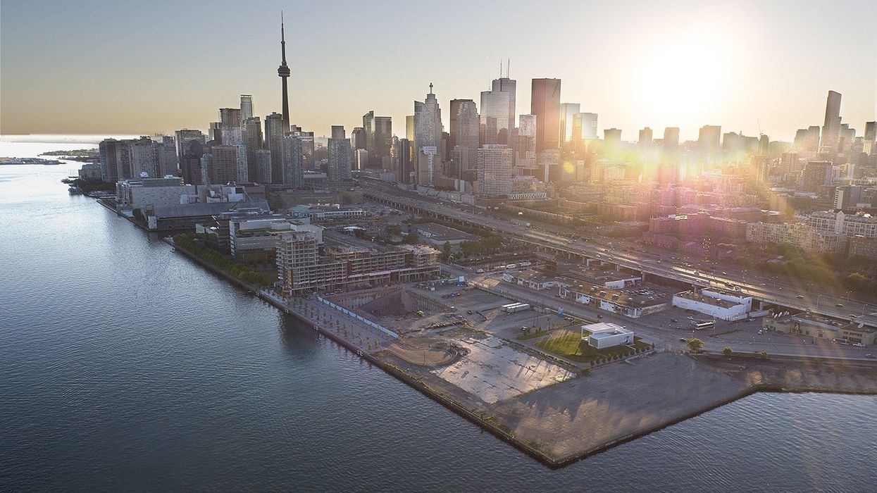
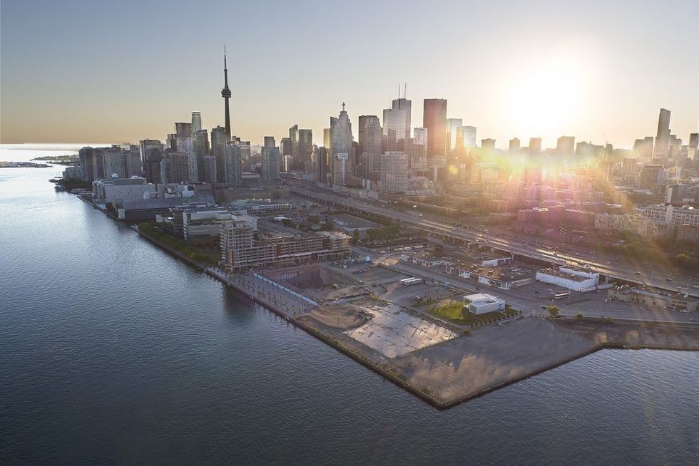
 Toronto Harbourfront
These are exciting times along the Toronto harbourfront. East of Yonge Street, where previously underused and underappreciated industrial land is experiencing an urban transformation, our city is creating a vibrant network of live/work/play communities as a legacy for future generations.
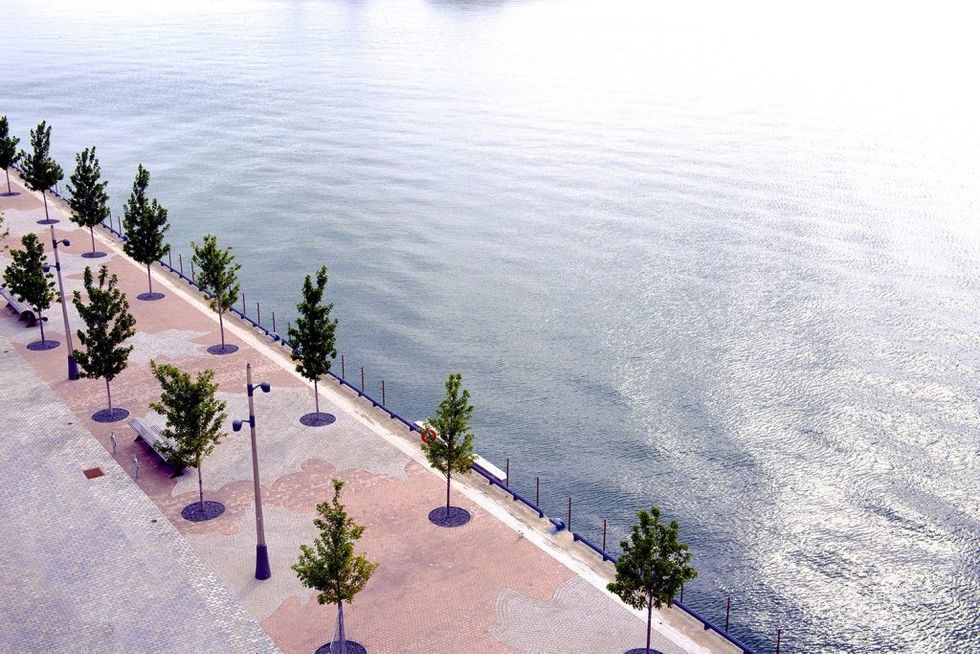
Here are a few of the changes that will be making waves on Lake Ontario in the years to come.
New Mouth of the Don River
Some of Toronto’s Port Lands are at risk of flooding from the Don River Watershed. The city is naturalizing the mouth of the Don River, rerouting it from its current location at the Keating Channel to the middle of the Port Lands.
Keating Channel Precinct
The Keating Channel neighbourhood will be the first Lower Don Lands community—a vibrant, mixed-use community featuring parks and promenades along the water’s edge, shops and canal-side cafés.
Villiers Island
Surrounded by water on all sides below the Keating Channel, Villiers Island will measure approximately 88 acres (over six times the size of the Distillery District), and will be comprised of one third parkland and two thirds mixed-use development.
Silo Park
With the waterfront’s iconic silos being a designated heritage site, the plan is to expand the canvas to nearby 333 Lake Shore Boulevard and create a wonderful public park around these magnificent structures.
Bayside Business Park
Bayside’s master plan includes over 500,000 square feet of office space a major port of call along Toronto’s future innovation corridor.